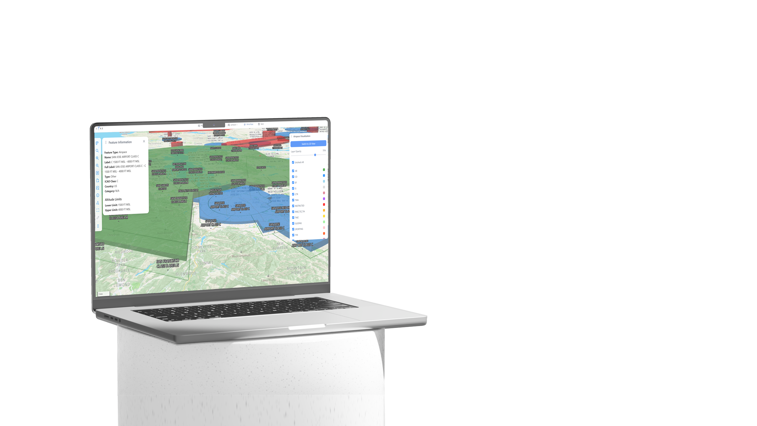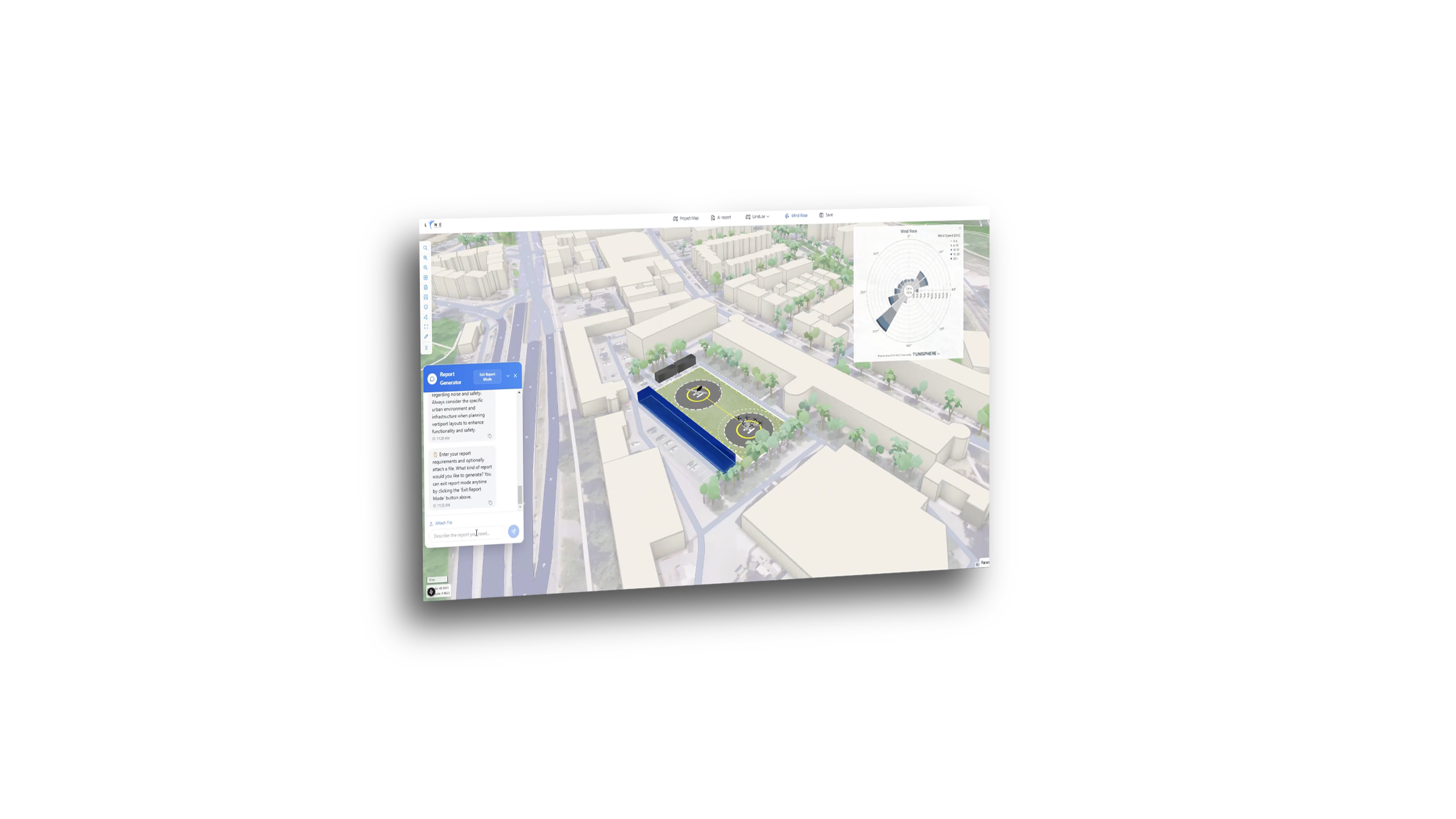
Plan
Site suitability, layout optimization, conceptualize, demand analysis,
Design
Drag & drop tools, wind & detailed report analysis, 3D modeling Kit
Simulate
Flight planning & flight simulation, DWOW visualization

Plan
Early-stage siting and feasibility.

Design
Convert compliance into layout design.

Simulate
Regulatory and commercial readiness.
What are Experts saying about us:
LYNEports’ software is the ideal visual software for vertiport developers and planners. It seamlessly integrates existing infrastructure and maps with the constant development in Vertiport regulations and the novel aircraft to which they are being built alongside the ability for network planning can help visualize the various business cases of AAM.
Aadil Haque,
Jr. Airport Planner @Merchant Aviation
1/7
What are Experts saying about us:
Allowing AEROS ELECTRICAL AIRLINES to quickly evaluate vertiport locations for our intended eVTOL routes and presenting to local, regional and national authorities a visual representation of the departure and arrival pathways, with a stunning 3D view to facilitate engagement and better understanding of UAM passenger operations
Antonio Mota,
Group CEO and Director @Aerosolutions Group
2/7
What are Experts saying about us:
LYNEports is very easy to use and minimizes our design errors, rework, and unnecessary calculations allowing us to maximize the outcomes and results in our efforts, and deliver excellent designs and reports to potential customers in record time
José Ignacio Rodríguez,
Managing Director @Bluenest by Globalvia
3/7
What are Experts saying about us:
LYNEports’ software is very innovative! It's a powerful visual tool to be used during planning stages, especially during feasibility and for non-aviation stakeholders to understand. Watching the software capabilities grow in such a short period of time has been amazing.
Yasmina Platt
Aviation Planning Expert
4/7
What are Experts saying about us:
LYNEports software is key to the sophisticated planning of aviation ground infrastructure and its integration into complex urban environments. LYNEports software allows professionals to easily understand the planning requirements for AAM infrastructure streamlining the planning process.
Dr.Christoph Selig,
Co-founder & CCO @Unisphere
5/7
What are Experts saying about us:
The simulation developed by LYNEports that include modeling outwash and downwash of the eVTOL's is a powerful tool to define the most sensible trajectories in the airport crowded environment
Yves Morier
Former EASA and DGAC Expert
6/7
What are Experts saying about us:
LYNEports is a powerful AI-based tool that helps stakeholders quickly understand and make decisions for vertiport planning in complex urban environments.
Park Sungwon
Airport Planner @Hyundai Engineering & Construction
7/7
Who is LYNEports for:
Urban Planners, Architects, and Engineers
Design smarter aviation infrastructure in one single software, with
built-in analysis, 3D modeling, and compliance tools.
Aircraft Operators, Airports and Developers
Accelerating planning, site validation, and scoring to improve ROI, reduce planning time and cost, and ensure profitable operations.
City Planning and Aviation Authorities
Test, collaborate, and connect, bridging aviation authorities, municipalities, and teams under shared regulatory aware software.

Turn a compliant site into a project layout.
Plan

Convert compliance into layout design.
Design

Regulatory and commercial readiness.
Simulate
Who is LYNEports Made For:
Urban Planners,
Architects, and Engineers
Design smarter aviation infrastructure in one single software, with built-in analysis, 3D modeling, and compliance tools.
Aircraft Operators,
Airports and Developers
Accelerating planning, site validation, and scoring to improve ROI, reduce planning time and cost, and ensure profitable operations.
City Planning,
and Aviation Authorities
Test, collaborate, and connect, bridging aviation authorities, municipalities, and teams under shared regulatory aware software.
